This is the New Jersey Highlands: ridge after ridge of hard old rock that was never worth clearing, so the woods came back and stayed. Almost none of it is crowded midweek.
Every named route within seven and a half miles of the door. You will walk three or four of them in a week and never notice the other eighty-eight.
The five we would send you to
Surprise Lake & Bearfort Ridge
about 15 minAbram S. Hewitt State Forest
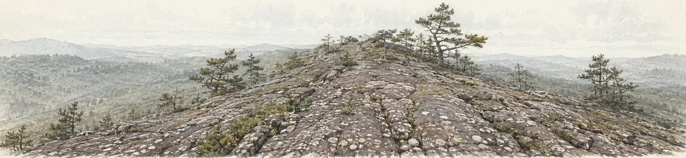
The first-timer walk, and the one with the biggest climb. Bearfort puddingstone underfoot the whole way. Loops from roughly four miles to eight.
Terrace Pond
about 15 minWawayanda State Park
A cliff-ringed glacial pond in the Bearfort ridge. Real scrambling on parts of the loop — boots rather than sneakers, more water than feels necessary, and not in the wet unless you know the route.
Long Pond Ironworks
about 5 minHewitt, NJ
Flat, historic and scenic, through a preserved eighteenth-century ironworks village. The best of the five with young children and the best in poor weather, since nothing here depends on a view.
Wawayanda State Park
about 15 minHewitt, NJ
Waterfalls, lakes and miles of well-kept trail at every level. The default when you want a walk without committing to a climb.
Ringwood State Park
about 20 minRingwood, NJ
Manor grounds, botanical gardens and easy woodland loops. The house at Ringwood Manor is closed inside for restoration, but the grounds and trails are open. Pairs with Skylands, which has its own guide.
What it is like underfoot
Uniformly dirt, is the short answer, and we know that rather than assume it: of the trails mapped within seven and a half miles of the house, every single one that carries a surface in the open data is leaf litter and dirt over rock. There is no carriage road here and no gravel path. Trail shoes or light boots; road sneakers will do in a dry August and will not in April.
What nobody has recorded is which sections need your hands. Two of the two thousand mapped paths around this house carry a difficulty grade, so the honest answer is that the data cannot tell you and the park can. Bearfort Ridge in particular has scrambling on it that its length and its climb figure will not warn you about.
Following the blazes
Trails here are blazed by color, not signposted by name, and once you are on the ridge the color is the only thing telling you which trail you are on. Most junctions have no sign at all. Learn your color before you set off: the trail finder carries it for every route we have mapped, along with the blaze for the trails that cross it.
The blazes exist because volunteers put them there. The New York–New Jersey Trail Conference maintains most of this network, and it is worth knowing whose work you are following when a paint mark appears exactly where you needed one.
Bears, ticks and water
This is black bear country and West Milford has one of the densest populations in the state. In practice that means you will probably not see one and should behave as though you might: make noise on blind corners, keep food packed, and if you do meet one, make yourself large and back away rather than run. They want the trail rather than you.
Ticks are the likelier problem and the one people underestimate. This is a Lyme county. Long trousers on the overgrown trails, a check when you get back, and the same for the dog.
Carry your own water. There is a great deal of water in these hills and none of it is drinking water — much of it is feeding reservoirs that supply three and a half million people, which is also why nothing goes into it.
Every mapped trail, with its blaze and where to park · Why the water here is drinking water
Two things worth knowing
Prospect Rock, where the State Line Trail meets the Appalachian Trail, is the highest point the AT reaches in the state of New York — a short push north from the border and a genuine trophy for a morning’s walk.
During the autumn and winter firearm seasons parts of this ground are shared with hunters. Wear blaze orange on the state forests and wildlife management areas then. It costs nothing and it is what locals do.